Trung tâm phòng tránh và giảm nhẹ thiên tai

Disaster Management Policyand Technology Center

Giao diện dễ tiếp cận vietnam english
Log in

Management - Cooperation - Work together

  • Homepage
  • About
    • About DMC
    • Organization Structure
    • Function & Tasks
    • Development stratery
  • News
    • National and International News
    • DMPTC News
  • Information Center
    • Disaster infomation
    • Basic knowledge
    • Library
      • Legal documents
      • Reference documents
      • IEC documents
      • CBDRM documents
        • Legal documents
        • Reference documents
        • IEC documents
    • CBDRM (Program 1002)
      • Project Matrix
      • Technical Assistance Network
      • CBDRM documents
        • Legal documents
        • Reference documents
        • IEC documents
      • Monitoring and Evaluation (M&E)
      • CBDRA
        • Disaster risks maps
        • CBDRA Reports
        • Other maps
      • Disaster prevention plans
    • Disaster risk maps
    • Irrigation systems
    • Trainings and Workshops
    • Gallery
  • Partners
  • Projects
  • DMC-Mail
  1. News
  2. Details
  • Share this on Facebook
  • Share this on Twitter
  • Share this on GooglePlus

Saline intrusion continues until early May 2020

17:5:54, 27/04/2020 According to the Southern Institute of Water Resources Research, from now until May 1, 2020, the flow on rivers in the Mekong Delta region is still low, salinity will continue to penetrate and last until early May 2020.


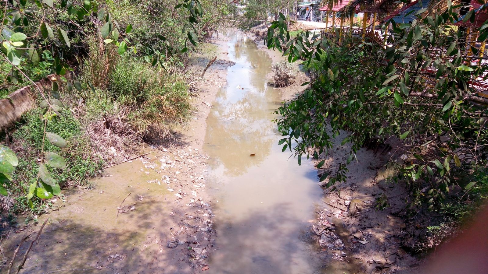
The water level is still low in tertiary and canal channels in Can Tho city.

During the above period, in the upper part of the Mekong Delta, including the lands of An Giang, Dong Thap, the upstream of Long An, Kien Giang and Can Tho City, the head of the water continued to be low, and it was difficult to pump at places far from the trunk canal.The region in the middle of the Mekong Delta, including part of Can Tho City, Tien Giang, Long An, Kien Giang, Hau Giang, Dong Thap, Vinh Long and saline control areas in Bac Lieu, Soc Trang, Tra Vinh and Ben Tre likely to occur in estuaries at low tide. At Co Chien river, sweet water appears from 35-45km, Hau river 35-45km, Vam Co river 90-105km, Cai Lon river 55-65km. Ham Luong, Dai and Tieu estuaries have limited access to water due to the continued high salinity. Local authorities should take initiative in measures to store water for domestic use and to store water as soon as possible to prevent high salinity. The coastal areas of the Mekong Delta, including Long An, Ben Tre, Tra Vinh, Soc Trang, Bac Lieu, Ca Mau and Kien Giang provinces, need to take measures to combat drought and provide water for domestic use and actively store water before the increasing  of salinity.


In the recent days, from April 17 to April 25, 2020, in the Mekong Delta, there was no rain or only  light rain in some places (Tri Ton, Rach Gia), the water level depends on the water coming from the upstream and the tide cycle. Water level at the two upstream stations of the Mekong Delta (Tan Chau and Chau Doc) have decreased compared to the early days of April, 2020 by about 0.2m, the flow decreased by about 200m3 / s. Compared with the average of many years, the water level in Tan Chau, Chau Doc is lower from 0.07 to 0.03m ... Provinces in the Mekong Delta need to operate a reasonable building system, regularly control salinity in the systems irrigation, intake gates, ensuring water storage and protection of water resources during this historic salinity period.

(Source: Ca Mau online News)

Read more

  • Yen Bai: Trees fell, houses had their roofs blown off, one person was injured due to a tornado
  • Dak Nong: Heavy rain accompanied by strong winds, greeting gates, trees in Gia Nghia city fell and fell
  • Malaysia records flood damage of over $210 million in 2024
  • Thanh Hoa: Escaped death when dozens of tons of rock fell on house
  • Ben Tre proactively responds to drought and salinity
  • The people of Lai Chau actively protect their livestock during the prolonged cold and severe cold weather.
  • Storm Tra Mi causes walls to collapse and roofs to be blown off in Quang Tri
  • Early resettlement for people living under landslides in Muong Nhe
  • Together, overcome difficulties, stabilize life
  • Nam Dinh evacuated nearly 500 households to safety due to the risk of rising flood waters.


  • Vietnam Natural Disaster Monitoring System (VNDMS)

  • Community-Based Disaster Risk Management Database (Project 553)

  • Socio-economic database

  • Riverbank landslides, coastal erosion database

  • Spatial for disaster management database

  • Library Disaster Management Policy and and Technology Center

  • Damage database

  • Satellite database

  • Science and Technology Database

  • Online Knowledge Dissemination Software for Disaster Prevention

  • Digital transformation portal in disaster management

  • Camera Management and Monitoring Software

Weather forecast

Copyright © 2015 - Disaster Management Policy and Technology Center

Address: No.54 - 102 Truong Chinh street, Dong Da, Ha Noi

Phone: +84-436291511 - Fax: +84-437336647

Email: trungtamcsktpctt@gmail.com - Website: www.dmptc.gov.vn

Online users: 349

Visistors: 19911474